
Nobeltec’s TimeZero Navigator (TZ-Nav) software can retrieve weather data from the TimeZero server (directly via internet or via email including Sailmail), and display grib weather data from any source. This page will explain how to use those options.
To request a file from the TimeZero server, select TZ-Nav’s “Update” tab, select the area desired, then adjust the settings for days, model(s) and parameters, and resolution, and click “Request by Email”. This will create an email using the default email program (the “mailto” link), to change that to Sailmail see these instructions. The request is plain text and can also be copied to Airmail to send via Sailmail, or any other email program.
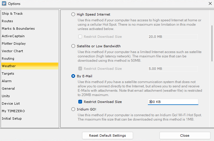
Note: To select email versus direct download, open TZ-Nav’s Options window, click on “Weather”, and select “By Email”. Setting a max size will provide a warning when a too-large file is requested.
When using TZ-Nav with Sailmail, a simple method to fetch grib data is by using Airmail’s grib-request window to create a request to Saildocs. This can be sent via Sailmail, or copied to any email program. When a grib file is received via Sailmail, a copy of the grib file will automatically be saved in TZ-Nav’s weather folder (Documents\My TimeZero\Weather). If the request was sent via another email program then copy the attachment to the “My TimeZero/Weather” folder). In any case, be sure to check the reply message for any notices.
To display the weather file in TZ-Nav, first copy the reply attachment to the “My TimeZero/Weather” folder under “Documents” (if not already sone– Airmail does this automatically for .grb grib-files and .tnz weather files).
Then select the “Planning” tab in TZ-Nav, select the 3-bar menu in the upper-left, and click on “Open Weather File”. Select the desired file and click “Open”. (Tip: if you sort that file-selection window by “Date Modified”, then the newest file will be on top). Select the “Planning” tab to display the weather.
The display parameters can be changed by clicking “Layers” in the lower-right and scrolling down to “Weather”. Verify that the “Display weather” setting is enabled. To change the display parameters, for V4 click “Preset” then “User Preset”, and for V5 click “Data” then “Custom”. Wind can be displayed as particle-flow (the default) or the traditional feathers (birdies), with or without a color background indicating wind strength. Particle-flow provides a nice visual, but remember that the particle density can imply a much higher resolution than the actual data. Feathers provide an accurate indication of each data point.
There are several weather centers running computer forecast models and producing gridded weather data (grib files). The two most popular global models are the US National Weather Service “GFS” model and the European Center’s ECMWF. Other global models include Germany’s DWD (Deutscher Wetterdienst) “ICON” model, and US Navy’s “NAVGEM”. Regional models are also available, which are initialized from a global model and provide improved modeling for coastal waters. The TeamZero server provides grlobal GFS and ICON model data, plus regional Argege and Arome model data from Meteo France. See this page for available data from Saildocs.